I made a two-minute film about Cumberland River history, Film 04: The Cumberland, mostly because I wanted to know the river I live on, and this post is kinda the long version of it with every fact tied to a source. If something in here is off that's on me, and the sources are linked so you can check.
The Cumberland starts up in the mountains of eastern Kentucky and loops down through northern Tennessee and Nashville before it runs back up into Kentucky to meet the Ohio at Smithland. How long it is depends on who you ask, since Britannica says 687 miles, the Tennessee Encyclopedia says almost 700 and Corps river miles run to about 694, so I just call it almost 700 and nobody's fought me on it.
A shallow sea first
About 460 million years ago Middle Tennessee sat under a warm shallow sea, according to MTSU's Center for Cedar Glade Studies, and the corals and snails and shellfish that lived and died there turned into limestone, some of it close to pure calcium carbonate. The river cut down through that old sea floor, and the encyclopedia says limestone bluffs kept the lower river to about 600 to 700 feet wide. So next time you're under the bluffs at Clarksville you're basically looking at old ocean, which I think is pretty wild.
People on the river
People have used this river since the end of the last Ice Age per the encyclopedia, first with hunting camps and later with big Mississippian towns built around earthen mounds. In the early 1700s the Shawnee claimed the area and the Cherokee and Chickasaw used it too. I kept this part short in the film and I'll keep it short here, because honestly the encyclopedia tells it better than I can.
How it got its name
On April 17, 1750 Dr. Thomas Walker named the river for the Duke of Cumberland, and the Kentucky Historical Society marker puts the naming at The Narrows near Pineville. So a river most of us think of as Tennessee's got named after a British duke by a guy standing in Kentucky, which is about as frontier history as it gets.
Long hunters and the Donelson flotilla
Long hunters came over the mountains after furs and game, and the Stones River is named for one of them, Uriah Stone.
The one that really gets me is John Donelson, who led a flotilla of flatboats and canoes out of Fort Patrick Henry on December 22, 1779 and reached the Big Salt Lick, which is Nashville now, on April 24, 1780. That's around a thousand miles in winter through rough water and attacks, and his journal is online at the Tennessee State Library and Archives. Read a page of it and then try to complain about a crowded boat ramp.
Steamboats and tobacco
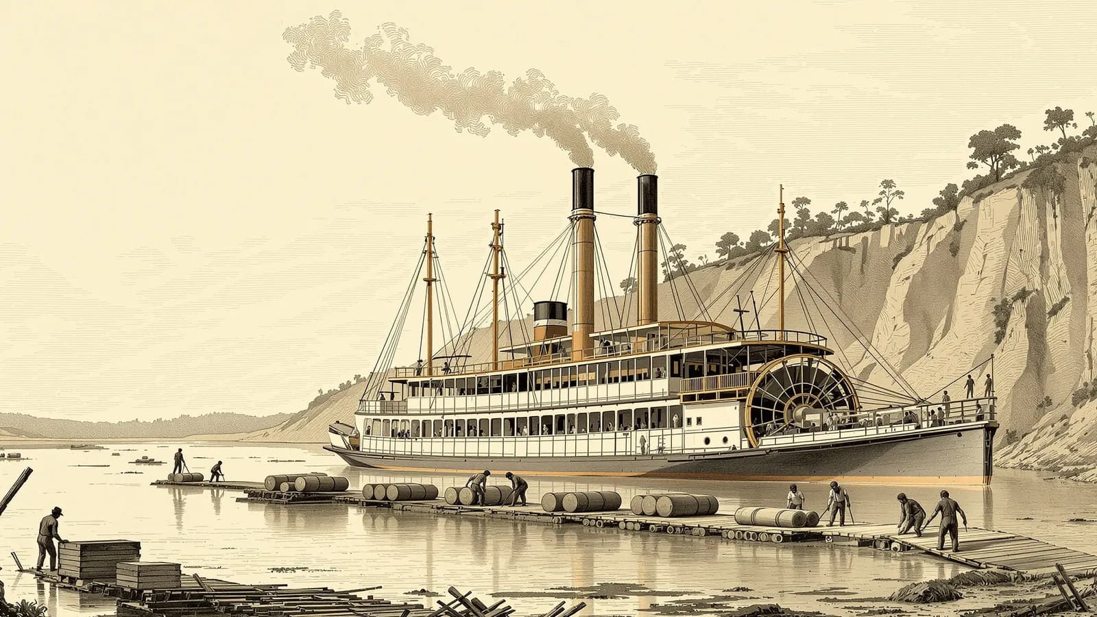
The steamboat General Jackson reached Nashville in March 1819 according to the encyclopedia, and after that the river turned into a highway for trade. Clarksville rode that highway pretty hard, and the encyclopedia's Clarksville entry says in 1858 the town shipped more than 18,000 hogsheads of tobacco worth more than $2.3 million, with its dark-fired tobacco getting famous all over Europe. There's more on that in Clarksville TN History.
The Civil War on the Cumberland
In 1862 the Union used the Cumberland and Tennessee rivers as invasion routes, and the National Park Service tells that story at Fort Donelson National Battlefield near Dover. In February 1862 General Grant surrounded Fort Donelson, and when the Confederate commander asked for terms Grant answered with "No terms except an unconditional and immediate surrender can be accepted," which comes from the NPS.
A few days later, on February 19, Union gunboats got to Clarksville and found Fort Defiance empty with a white flag flying, per a local historical marker and the city's coverage of the Fort Defiance Interpretive Center. Then it was on to Nashville. The Library of Congress has a public domain photo from April 1862 of Union gunboats on the Cumberland near Nashville that we used in the film, and it's kinda crazy to see those boats on water I can drive to.
Dams, locks and lakes
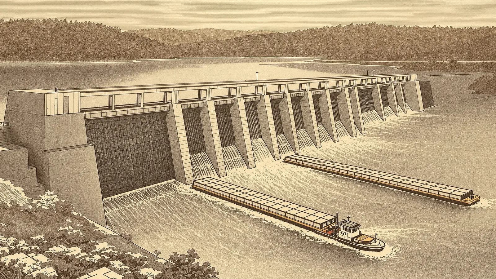
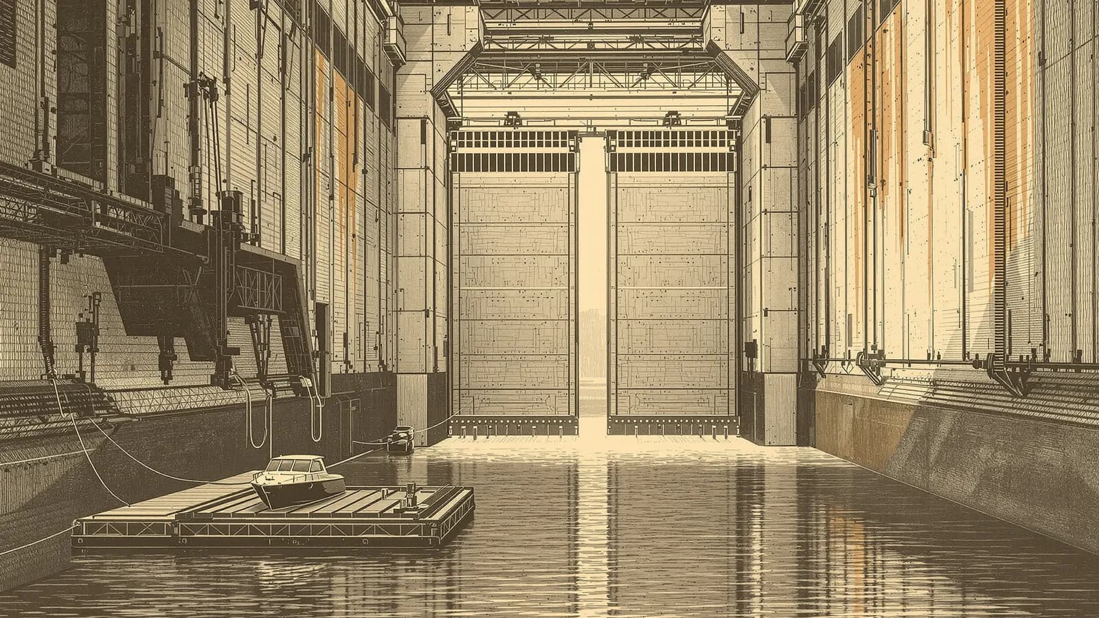
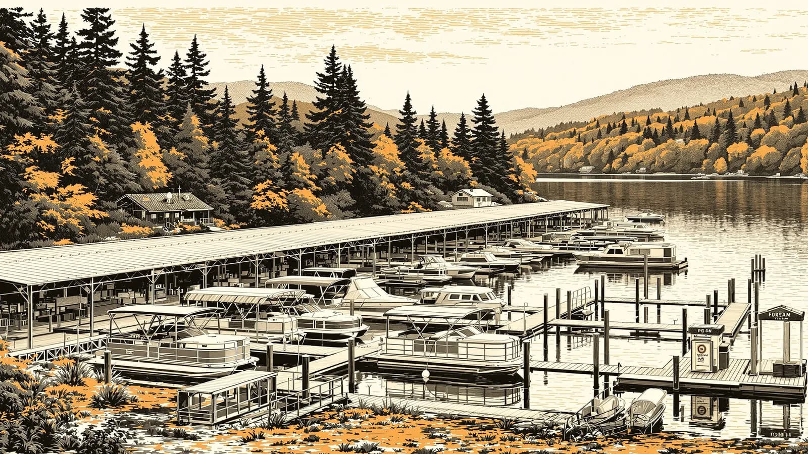
The modern river is a staircase of Corps of Engineers lakes, and the encyclopedia lists the big dams as Wolf Creek in 1952, Old Hickory in 1956, Cheatham in 1959, Barkley in 1966 and Cordell Hull in 1973, with eight dams controlling the river by the 1970s. That's why you lock up and down today instead of scraping over shoals, and I wrote boater guides for the pieces near me on Cheatham Lock and Dam, Lake Barkley and how to lock through. The river still moves coal, oil and gravel, and recreation on the Corps lakes is a big part of the river's economy now.
I live near Clarksville on this river and bought a Raider Coastal 230 for it, built out in Colville, Washington, a long long way from the Cumberland, and making the film was my way of learning the water she's going to call home. The build is on the build page, and the shop photos and all four films are in the gallery.
One note on the film's art, the paintings in Film 04 are illustrated reconstructions made with AI and they're labeled that way on screen, while the two Civil War images are real Library of Congress pictures. The full source list is on the film page.