I went looking for a clean list of Clarksville boat ramps and didn't find one I trusted, so I put one together from the city and TWRA and Corps sources, and anywhere I couldn't confirm something I just say so. My boat Doreen runs about 25 and a half feet of aluminum on a big tandem trailer, so I care a lot about lanes and depth and parking and having a dock to tie off to while somebody parks the truck. I'm still figuring out which ramp ends up being my home ramp.
I'm not listing hours or fees though. I couldn't find official numbers for every site and a wrong hour is worse than no hour, so call before you go.
| Access | Water | Managed by | What the source says |
|---|---|---|---|
| Liberty Park, 1188 Cumberland Dr | Cumberland River | City of Clarksville | Four-lane boat ramp, Clarksville Marina on site |
| McGregor Park, 640 N Riverside Dr | Cumberland River | City of Clarksville | Boat ramp on the downtown riverfront |
| Trice Landing | Cumberland, near the Red River | City of Clarksville (Blueway access point) | Listed as public river access |
| Billy Dunlop Park | Red River area | City of Clarksville (Blueway access point) | Listed as public river access |
| Robert Clark Park | River access | City of Clarksville (Blueway access point) | Listed as public river access |
| McCormac Landing at Lock B | Cumberland River | See note | Named by Visit Clarksville |
| Smith Branch Recreation Area | Cumberland River | See note | Named by Visit Clarksville and TWRA ramp lists |
Sources: the city's Liberty Park and McGregor Park pages, the Clarksville Blueway page, and Visit Clarksville's fishing guide.
Liberty Park
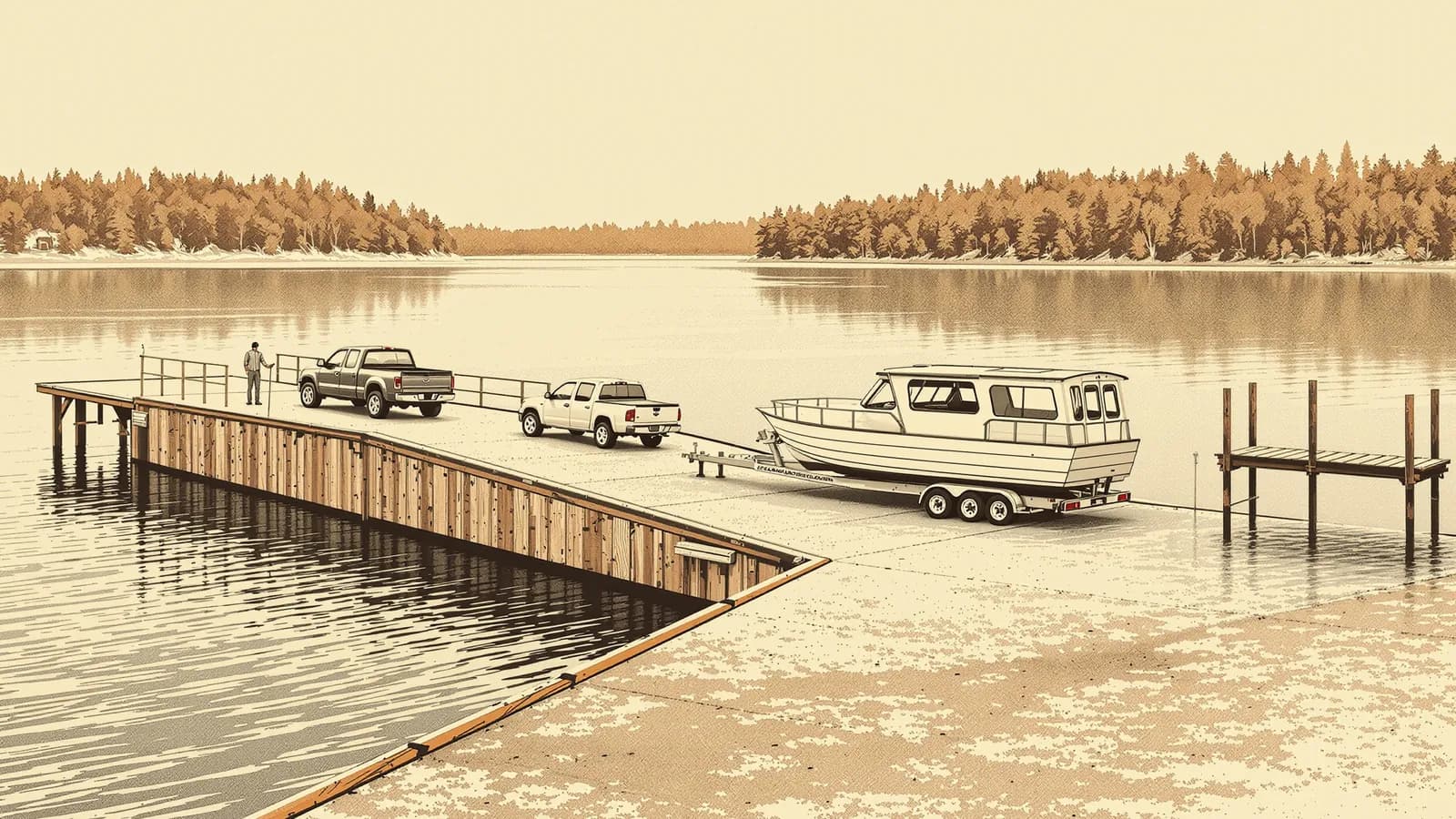
This is the one most folks mean when they say "the ramp" in Clarksville. The city lists a four-lane boat ramp into the Cumberland, a 10-acre fishing pond, the Wilma Rudolph Event Center and Clarksville Marina all in the one park off Cumberland Drive. Four lanes matters a lot on a busy weekend because it means you're not stuck behind the one guy who forgot his drain plug, and someday that guy might be me, but I'm trying hard for it not to be. The marina next door is handy if you want fuel or a slip, and I wrote more about it in Liberty Park and Clarksville Marina.
McGregor Park and the RiverWalk
McGregor Park runs along the downtown riverfront on Riverside Drive, and the city says it has a boat ramp, a one-mile walking trail and the "As the River Flows" exhibit about the river and the town. If I'm taking family out for a short run this is probably where I'd start, since you launch right by downtown and anybody who doesn't want to ride can walk the RiverWalk and wave at you.
Trice Landing and the Red River
Trice Landing is on the city's Blueway list, and Visit Clarksville puts it near where the Red River meets the Cumberland. That spot where the rivers come together is a big part of why Clarksville is where it is, and Fort Defiance sits on the bluff right above it. It's also the Red River, so you know I've got some history with that water. I've seen an unofficial listing give hours for Trice Landing, but I couldn't confirm them with the city so I left them out.
Billy Dunlop and Robert Clark parks
Both of these are city Blueway access points, and since the Blueway is built around paddling I'm not going to assume either one has a trailer ramp that fits a big boat. If you're in a kayak or canoe they're worth a look, and if you're towing 25 feet of aluminum I'd check first.
Lock B and Smith Branch
Visit Clarksville mentions McCormac Landing at Lock B, and the name points back to one of the river's older lock sites from before the modern dams. I didn't find an official page with details, so I'll leave the history at that. The TWRA ramp listings I found, which came through a secondary atlas and not TWRA's own page, also show Lock B Northside and Southside access areas, so I'd treat those exact names as probably right and verify them on the TWRA map. Smith Branch Recreation Area shows up in both the Visit Clarksville guide and the TWRA-sourced lists, and I'd give it the same caution.
A little farther out
On the Lake Barkley side the Corps runs ramps and recreation areas around the lake like Yellow Creek, and up near Ashland City, Cheatham Lake has its own ramps and marinas. The Corps keeps the master list for its lakes on the Nashville District lakes pages, and for the official word on every public ramp in the state, TWRA's boating access map is the one to trust over any blog, this one included.
What I'll be looking for
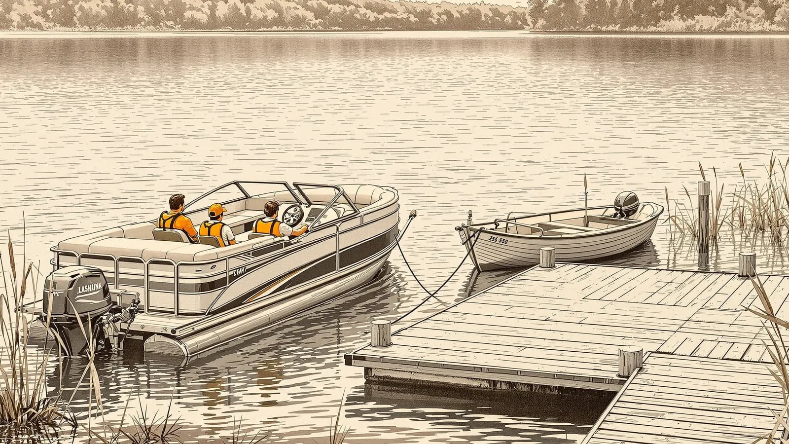
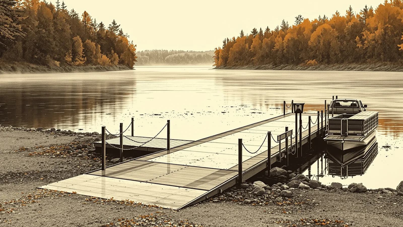
This comes from reading, not from years of launching, but what I'm looking for in a ramp is enough lanes and a courtesy dock to tie off at while the truck gets parked, enough depth at the end of the ramp since a heavy boat needs the trailer deeper, real truck and trailer parking and not just car spots, and some lighting and a staging area to load up away from the lanes if I'm out early. Discover Boating has a good ramp etiquette list, and my own step-by-step is in how to launch a boat.
If you want the quick story of this river and where Clarksville sits on it, Film 04 covers it in a couple minutes, and if you're new around here my Boating on the Cumberland post gets into the lake and the locks and the barges.
FAQ
Where is the main public boat ramp in Clarksville TN?
Liberty Park at 1188 Cumberland Drive has a four-lane boat ramp into the Cumberland River, according to the City of Clarksville, with Clarksville Marina in the same park.
Is there a boat ramp in downtown Clarksville?
Yes. The city says McGregor Park on N. Riverside Drive, along the RiverWalk, has a boat ramp on the Cumberland.
Are Clarksville boat ramps open 24 hours?
I couldn't confirm official hours for every site, so I don't list them. Contact Clarksville Parks and Recreation or check posted signs before an early or late launch.
Where can I find every public ramp in Tennessee?
TWRA maintains the state's boating access information. For Corps lakes like Lake Barkley and Cheatham Lake, the Nashville District lists ramps and recreation areas.